When introverts go exploring
Hiking the Bay Area Skyline Trail
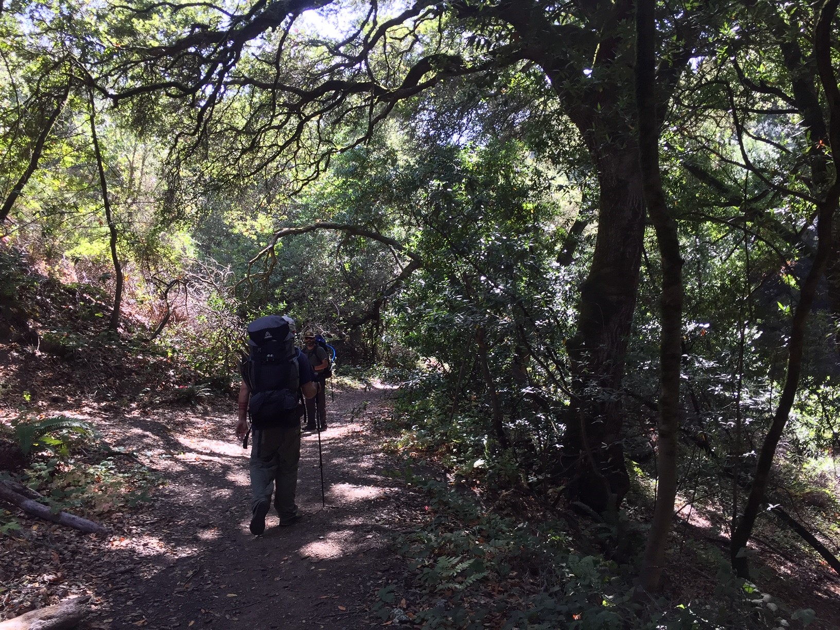
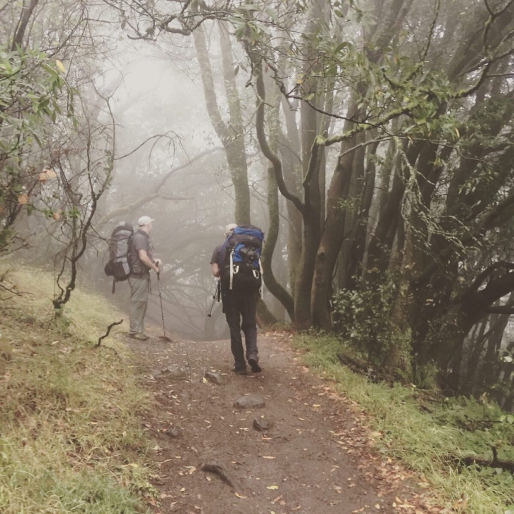
I’m going to let you in on a little-known secret about the Bay Area. There are parks that you can hike through. Well, that’s not really the secret. The secret is that many of them connect into one long trail that makes up The East Bay Skyline Trail. The Skyline Trail is actually part of a longer trail called the Bay Area Ridge Trail, which is about 380 miles of (almost) continuous trail that loops from up around Napa, to down around San Jose.
I have been yearning to do a longer backpacking trip, and the Skyline section of the Ridge Trail seemed like the perfect place to start.
Our plan was to start on Friday at Wildcat Canyon, and make our way along the Skyline, until Lake Chabot, where we would hike out of, and back to Sean and my house which is nearby. Easy peasy right? Well, even the best-laid plans don’t always work, and this was not the best-laid plan.
However, we were ready and we were doing this!
Day One Friday:
I’m not going to lie. The trip started out in a hilarious chain of events that has us driving back and forth between San Leandro, Oakland, and back to San Leandro before we could begin.
Our friend, Ed, was due to meet us in San Leandro, where we would then take BART to Richmond, and begin at the Wildcat Canyon Regional Park. Unfortunately, when Ed got to our house, he realized he had left his trekking poles at his place in Oakland.
We reasoned that this was not really a problem, as we could drive back to his house, then take BART from there instead of San Leandro.
So we set off, in Ed’s car to Oakland. Once we got to his place, Sean and I realized we had forgotten OUR trekking poles. No way were we doing this without them, so we decided Ed should get his poles, and drive us back to San Leandro, so we could commence with the original plan.
Once we got back to our house, we got our poles, as well as our packs, and then scheduled a Lyft to take us to BART.
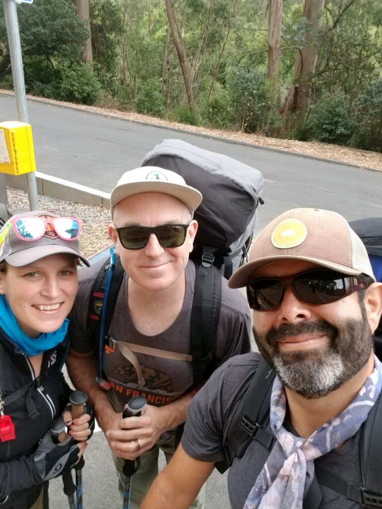
Okay, whew! On BART now. We all had our poles. Our spirits were high with anticipation.
Once we arrived at the Richmond BART station, we had to order another Lyft to take us to the actual trailhead that we were starting at. This is where we began our (about) 30-mile hike through the East Bay EMBUD parks, and along the East Bay Skyline Trail.
Wildcat Canyon: Fog, Cows, and Fire Roads
We began our hike at Wildcat Canyon Regional Park. We originally meant to join the trail by taking Wildcat Creek Trail to a connecting trail that would get us to the Skyline/Bay Area Ridge Trail, but we missed the first one, so we hiked along Wildcat Creek Trail for a few miles before taking the Conlon Trail up to meet with Skyline/Nimitz and into Tilden Regional Park.
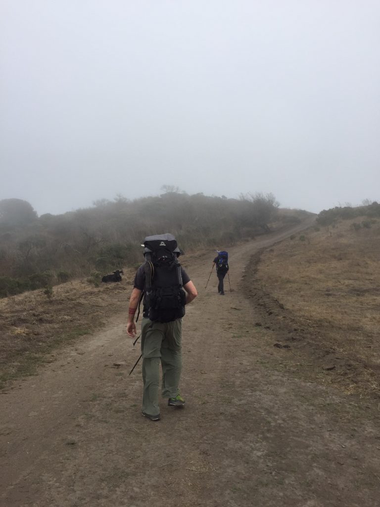
Most of the trail was a long, wide, fire road. Through fog and cattle grazing land, we hiked with high spirits and big smiles. We were finally doing it and we all three had our trekking poles! Are we real backpackers now?
What Are You Training For?
Want to know something funny? We rarely met people on the trail, especially the first day, but when we did, one in about every 3-5 people asked us what we were training for. I guess they sized up our bags and decided that maybe we were training for some, more serious thru-hike. When we mentioned we were hiking the Skyline Trail, most people only nodded and smiled, not really sure they knew what that was. I took this as both good and bad. Bad because I was sad that the trail is so little-known but also happy for the same reason. When I hike, I like to have solitude
Camping at Sibley
We made our way out of Wildcat, and into Tilden along the Nimitz Way/Skyline Trail, enjoying the creepiness of the fog. There is something almost unsettling about seeing other hikers slowly appearing out of the dense white, and then slowly disappearing as we made our way to the Sibley Backpackers Camp.
Sibley is actually a volcanic reserve that is nestled between Tilden Regional Park and Huckleberry Regional Reserve. It boasts panoramic views of parklands that almost make you believe your not mere minutes from civilization. Had we been more able-bodied perhaps we would have hiked up to see the volcano. It just wasn’t in the cards this time.
Sibley Backpackers Camp is a walk-in primitive camp that we didn’t realize that we were supposed to reserve ahead of time until the next morning. Luckily, we were the only ones crazy enough to camp in the dripping wet of fog, and we had the place to ourselves. My hopes for solitude were not dashed!
We arrived just after sundown to a campsite wet with fog, but with no water source to be found. We didn’t realize this until the next morning, but the water was about 1/4 mile back down the trail at the staging area. Oops! We did have just enough water to make our dehydrated meals come back to life, so we made dinner as quickly as we could while we shivered in the growing cold and wet. Topped off with rum (in my case) and vodka (in Sean and Ed’s case), we threw our bags into the bear box (we were so grateful for a dry, safe place to put our packs) and headed to bed for the night.
Day Two: Saturday
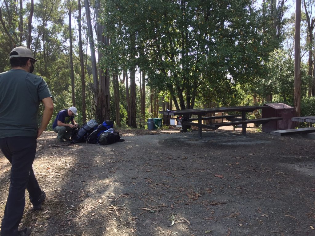
We woke to more fog. The fog was so dense, it looked like it had rained the night before. We hiked down to the staging area and refilled our water, then went back to camp and had a filling breakfast of oats, nuts, dried fruit, and maybe a Cliff bar or two between us.
The sun began to burn off the fog, and by the time we broke down camp, the day was showing promise of sunshine and warmth.
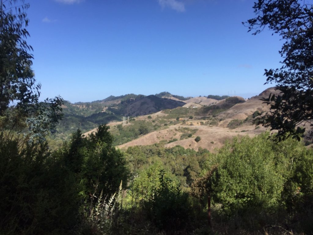
Day two led us into Huckleberry Botanic Regional Preserve, and into Redoown Regional Park. This is where fire roads gave to real, technical trails, and where the fun really began. Redwood Regional Park can be highly trafficked, but the Skyline trail seems to be one of the lesser-used sections, and we didn’t see that many people, again adding to the illusion that we were much farther from civilization than we actually were.
High Climbs and High Spirits
Day two I believe had three major climbs, but I think we only did about 2,000 ft of elevation change. Our spirits were still up, and the going was easy and fun. Yesterday’s fog was just a memory, and the day was perfect for hiking.
This is When We Realized Our Mistake
We had originally intended to camp at Bort Meadows (which is on the edge of Anthony Chabot Regional Park ). For some reason, we couldn’t get a campsite there, and when I was finding a place to stay for the second night, I thought “oh another 5-6 miles to Lake Chabot, that’s nothing”, and booked us the last spot at the Family Campground there (the backpacker’s camp was already full).
Well, let me tell you a little secret. 5 or 6 miles after 13 miles with a 25-pound pack on your back certainly is something. A big something. A big, blistered something.
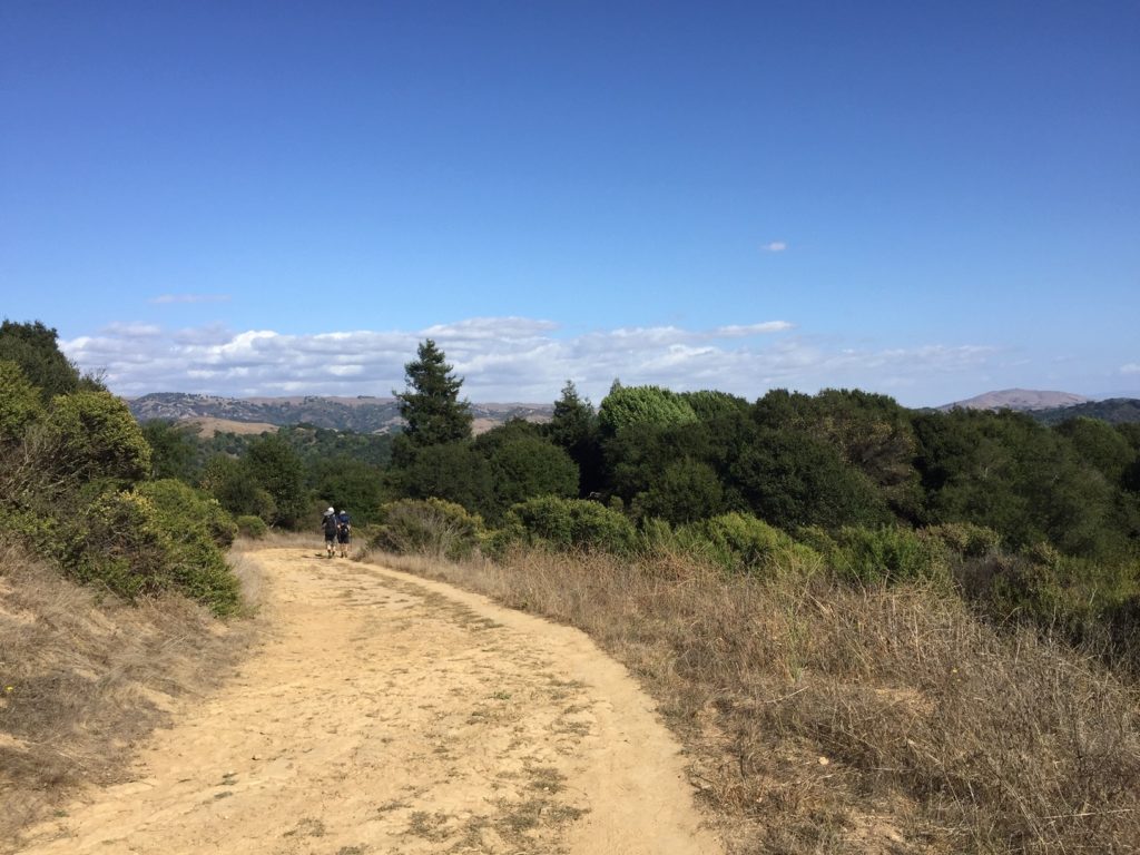
Lake Chabot Regional Park
We couldn’t camp at Bort Meadows, so we hiked on. My spirits by this time were fading. I told myself that morning that we had 12, maybe 13 miles tops to do that day. I had somehow forgotten that we had tacked on another big chunk, and by the time we hit Lake Chabot Park, I was ready to be at camp. But noooo, someone hadn’t planned correctly. And so we marched on, and on. And on. Blisters started forming. Sean and I both started needing more breaks.
Aside from the pain, the hike through Lake Chabot was quite pleasant and I enjoyed getting to see part of the park that I hadn’t yet. We were mainly on the Brandon Trail which is also the Skyline/Bay Area Ridge Trails, and well, the hike was a bit creepy being under all those swaying eucalyptus trees.
Skeksis in the Wind
Have you seen The Dark Crystal? You know the Skeksis? That eerie mmmHHHMMMMmmm sound? That’s the sound that eucalyptus makes when the trees are blowing in the wind. Creepy. But also fun. It took my mind off the growing blisters on my feet.
Lake Chabot and Goodnight
Our second night on the trail was spent at the Lake Chabot Family Campground. It’s about what you’d expect: kids and more kids. That’s great though. I love seeing families taking their kids to do outdoorsy things.
Our original intention was to hike out and back to our house in San Leandro the next morning. After assessing our wounds, however, we decided the next day we would call a friend and get a ride out of the woods. So we set up camp, made dinner, got a little tipsy on the last of the alcohol, and slept quite well.
Day Three: Sunday and Back to Civilization
The next morning, we called our friend to come to pick us up, thus ending our Skyline Trail adventure. While we didn’t hike 3 days, we did hike about the same amount of miles: 31. I felt a little guilty for not hiking out of Lake Chabot, but really, 31 miles in two days was just fine for our first backpacking trip in the East Bay.
Those of us living in the East Bay are so lucky to have a system of parks and trails that we can enjoy right in our own backyards. I urge you to plan your own trip, whether it be a day hike, or a longer backpacking trip, you can almost pretend you are in the backcountry, all with the safety of civilization just a few miles away.
When and where is your next backpacking or hiking trip?
Recent Comments