When introverts go exploring
Tahoe Rim Trail Day 1: Tahoe City to Watson Lake
Posted on January 15, 2021 by Joanna Redmond
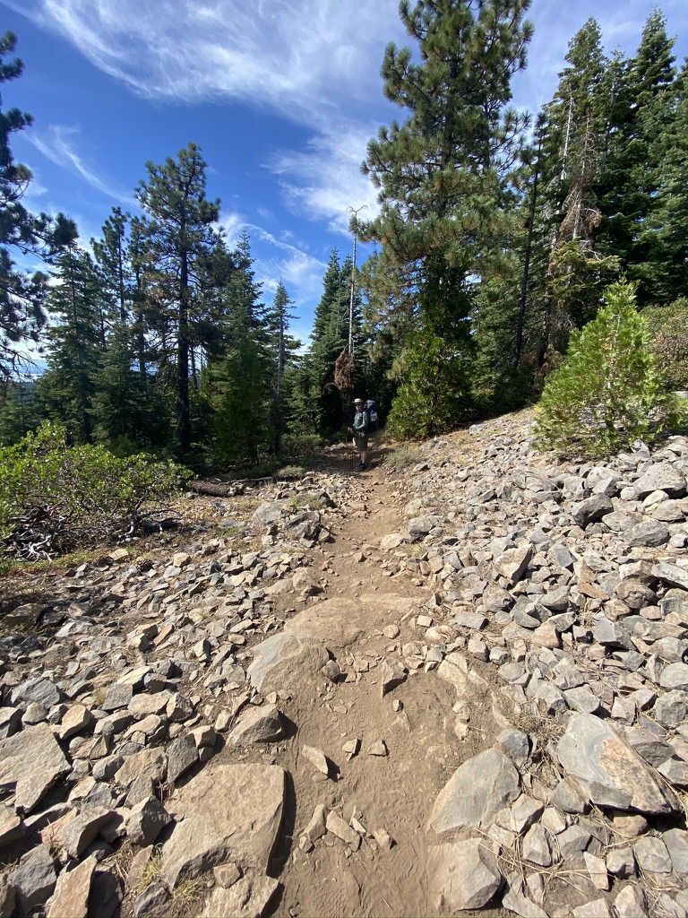
The climb is relentless. We trudge steadily upward, the sun shinning while storm clouds threaten in the distance.
The background
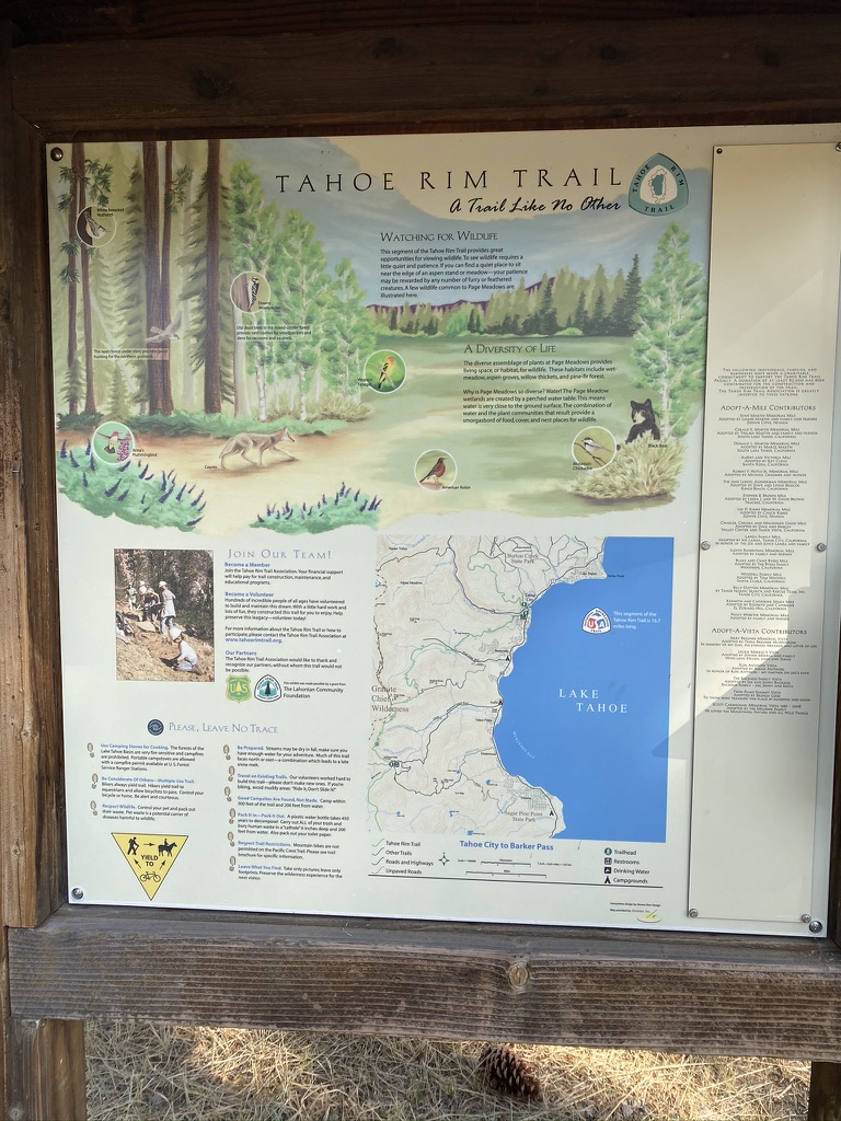
The Tahoe Rim Trail (TRT) is a 170-mile loop that traverses the mountains around Lake Tahoe. Hikers and backpackers get views of Lake Tahoe and numerous other lakes, valleys, meadows, and forests. The trail meanders between around 7,000 and a bit over 10,000 feet in elevation gain, most of it gradual grades making it easier to say “smiles, not miles.”
Trail trials
Hiking the TRT is an excellent choice for these COVID times because we would only need to resupply once, and we knew we could complete the trail without stopping in towns and potentially spreading our germs around the area.
We began a bit late on a Saturday morning, choosing to go clockwise from Tahoe City. We got a late-ish start, arriving at the trailhead at around 9:30 am. Immediately, we ran into a few small problems.
The weight of my bear vault is making my backpack hunch me forward, which in turn made my new sun hat scrape against my backpack. But these things I thought I could deal with. It wasn’t until I could not drink water from my bladder straw that we finally decided to stop and readjust.
Teetering on the edge of the trail, letting other hikers sweep past us, we repacked my pack, making it possible to both drink water, and walk upright. Now I know: Always check to ensure you can utilize your water bladder before embarking on an adventure.
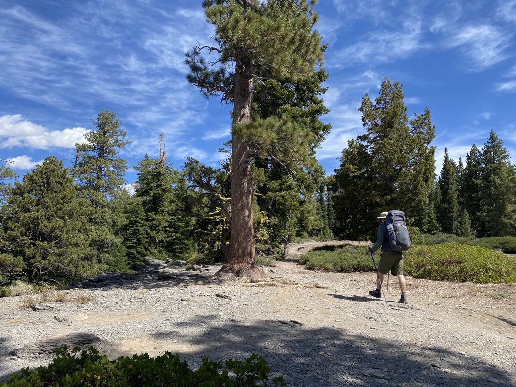
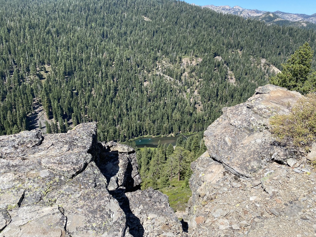
With our adjustments made, we again set out to conquer the trail. We lumber ahead, getting used to the weight of our packs, the Truckee river snaking through the gorge below us. The peaks of Desolation Wilderness catch our eye, and we marvel at the distance we will travel.
Breaks are important
The climb is relentless. We trudge steadily upward, the sun shinning while storm clouds threaten in the distance.
This trek is my first backpacking trip longer than two nights. Would I make it?
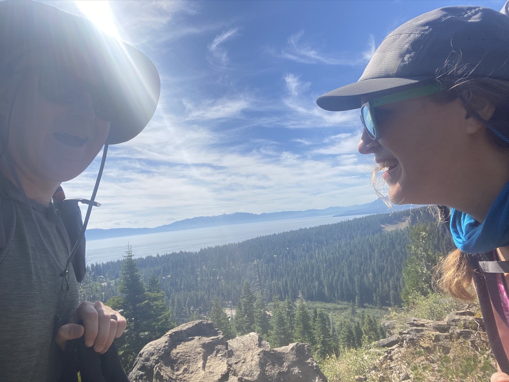
After more elevation gain through a logging area and crossing over many fire roads, there are 8 miles behind us and about 162 left to go. We find a flat spot right off the trail, guarded by boulders and shady trees; the perfect lunch spot. Lake Tahoe, a shinning blue jewel, is visible on one side, the valley a splendor of forest on the other. We treat ourselves to lunch with our feet elevated on rocks and the wispy clouds above us. We have our fill and soon after set off for Watson Lake.
The first night
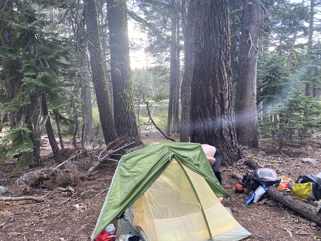
Soon enough, we descend toward the lake. 14 miles, and I don’t feel as bad as I thought I would. Other hikers are settling in, pitching tents, filtering water, but there is plenty of room for more tents around the lake.
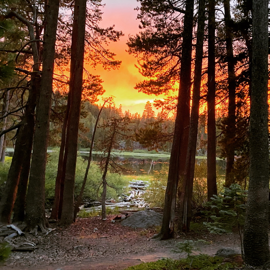
We pick out a campsite for the night, filter water, and soak our tired feet in Lake Watson’s cool water. As the sun goes down, we make dinner and watch the fantastic sunset show as the forest quiets around us.
The air is warm, and we sweat in our sleeping bags until dawn.
Day 1 field notes:
▪ We hiked: 14 miles with around 2800 feet of elevation gain.
▪ There were breathtaking views of Lake Tahoe and the Truckee River.
▪ The air was clean and fresh, and our excitement was
palpable.
▪ The trail was mostly scree, small, volcanic rocks that covered the path, making it hard to look at the scenery because I was terrified of twisting my ankle.
▪ We got the best lunch spot!
▪ It was HOT. The whole night was warm, also.
▪ We experienced a magnificent sunset.
▪ The lake bottom consists of sawdust/pieces of wood and
mud.
Category: backpacking, Hiking Tags: August 2020 Hikes, backpacking, hiking, Tahoe Rim Trail, TRT
Recent Posts
Archives
Categories
Copyright © 2025 · All Rights Reserved · IntrovertOutdoors
Theme: Natural Lite by Organic Themes · RSS Feed · Log in
Recent Comments